Back to Games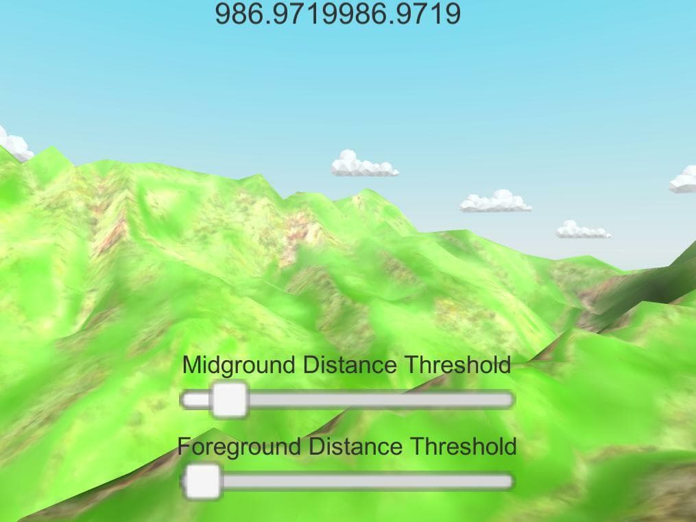
Landscape mipmapping via Bezier Tesselation
2020
About
My RPG needs a massive sense of scale. My foregrounds are made of interlocking interesting artist created tiles. My process for those is fine, but I needed a way to see far away. So I started by messing with a height map to get control points which might be used for loading tiles using the control points as a lookup. This worked fine but seemed limited. I got excited about bezier patches and started reading up on how to tessellate those based on distance. That way, when the camera can see this l...
Screenshots
Community Activity
Playing0
Completed0
Plan to Play0
Tap to see all activity →
Developers
bosaku
Platforms
PC
Tags
bezier-patchtesselation
Loading...
Loading...